Forest and Wildlife Drone Patrol with ZT30, UniRC 7 Pro and N7
How SIYI combines the ZT30 thermal gimbal camera, UniRC 7 Pro ground station, N7 autopilot and UniGCS for forest and wildlife patrol drones, and the effect it reports.
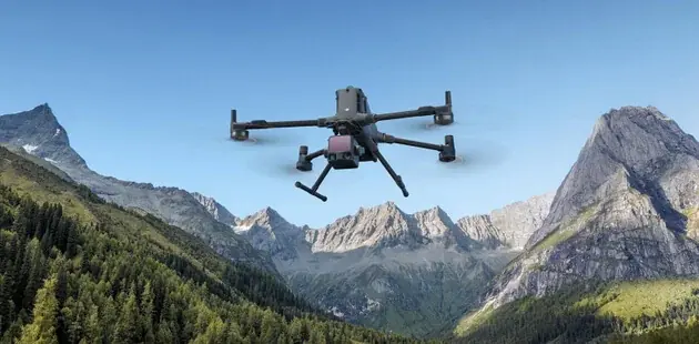
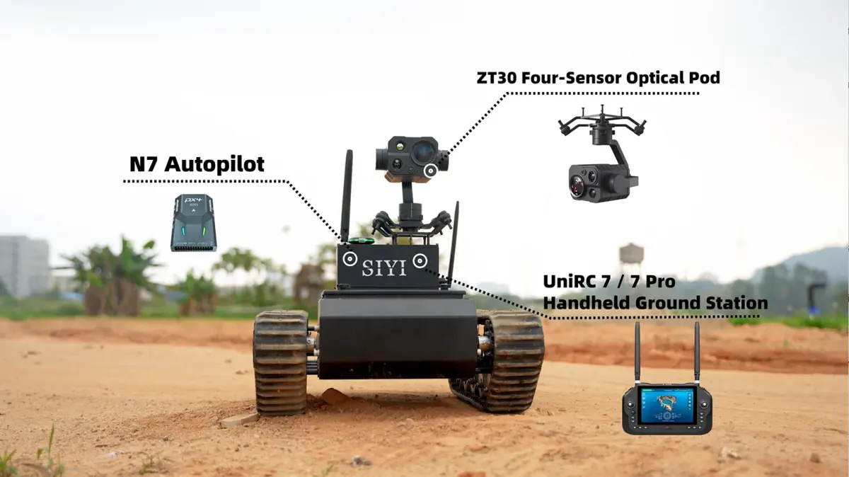
Forest patrol is a hard job for a UAV: the canopy hides what is on the ground, trees weaken radio links, and mountain winds and local geology work against stable flight. In a story published on 21 July 2025, SIYI sets out how four of its products are combined for forest and wildlife patrol: the UniRC 7 Pro handheld ground station, the ZT30 gimbal camera, the N7 autopilot and UniGCS software.
As background, the story says forestry departments use drones to monitor wildlife distribution, population changes and habitat with little disturbance, and that thermal-equipped drones support anti-poaching work in areas such as China's Qinling Mountains, Greater Khingan Range and Xishuangbanna. What follows is SIYI's description of its solution, not a record of one project.
Why forest patrol is hard
- Canopy: dense foliage blocks the view of visible-light cameras.
- Signal loss: trees absorb radio waves, so video and control links are prone to dropouts.
- Terrain: turbulent mountain winds affect flight stability, and mineral deposits can cause magnetic interference.
- Operating threshold: open-source systems can be too complex for frontline rangers.
How each component addresses it
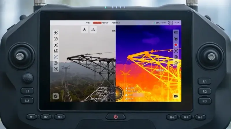
UniRC 7 Pro handles the link. The ground station switches automatically between the 2.4 GHz and 5 GHz bands to get around interference. A dedicated gimbal joystick lets the operator hold a target in view during flight, and a dual-operator mode divides the work between a pilot and a payload operator.
Range as stated in the source: SIYI headlines 40 km for the UniRC 7 Pro and cites validation tests of 12.5 km at 200 m altitude and 20 km at 500 m. The story does not give the conditions behind the 40 km figure.
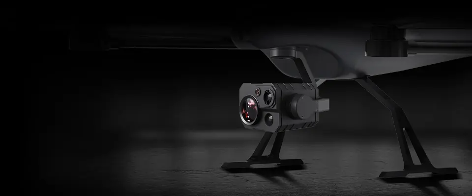
ZT30 is the observation payload. The four-sensor gimbal camera carries a wide-angle camera, a zoom camera with 30x optical and 180x hybrid zoom, a 640×512 thermal camera and a laser rangefinder. In SIYI's account, viewing thermal and visible images side by side helps detect hidden animals or poachers, the optical zoom helps identify a target, and the rangefinder gives the coordinates of a sighting.
N7 keeps the aircraft stable. The autopilot has dual IMUs for redundancy, dual magnetometers to counter magnetic interference, and a heated IMU for operation at -20°C. SIYI also cites RTK positioning with centimetre-level accuracy for holding position in turbulent valleys.
UniGCS lowers the operating threshold. The ground control software is built on the ArduPilot and PX4 open-source ecosystems and works with MAVLink-based products. It offers automatic patrol routes with one-touch take-off and landing, automatic return-to-home on critical alerts, and one screen for airspeed, altitude and wind data.
Operational effect, as SIYI describes it
According to SIYI, this combination is already used in dozens of projects. Rangers run surveys from their station bases, which cuts their exposure to hazardous terrain, and response is faster. These are the manufacturer's own statements: the story names no project, site or operator and gives no measured results.
For related uses, see the security and inspection application pages. To discuss a configuration for a specific aircraft, contact us.
This article is a summary written from a report published by SIYI. Read the original on the SIYI website