
UAV Flight Controller Guide: Choosing an Autopilot, GNSS and RTK
What to compare when choosing a UAV flight controller: processor, sensor redundancy, interfaces and vehicle support, plus SIYI GNSS and RTK positioning modules.
Autopilot · GNSS / RTK
Single-module, dual-antenna multi-frequency RTK receiver with a PNI RM3100 compass
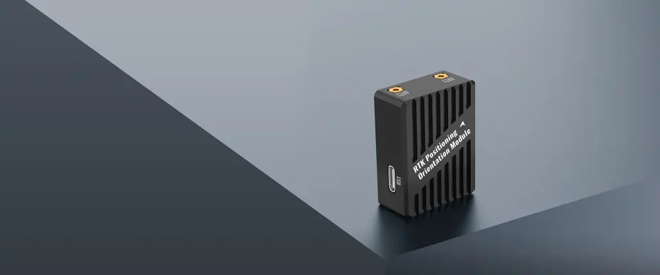
This RTK module delivers positioning and heading from one unit with two antennas, replacing the magnetic compass for heading. It receives BeiDou, GPS, GLONASS, Galileo and QZSS on multiple frequencies. Positioning accuracy is 0.8 cm + 1 PPM horizontal and 1.5 cm + 1 PPM in elevation, and orientation accuracy is 0.2 degree on a 1 meter baseline. It is compatible with ArduPilot and PX4.
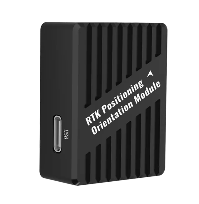
Connecting two antennas to a single module provides orientation in place of a magnetic compass, at 0.2 degree accuracy on a 1 meter baseline. It works in both GNSS and RTK states.
Receives BeiDou, GPS, GLONASS, Galileo and QZSS across multiple bands. The maximum satellite count is 50+ in RTK and 28+ in single mode.
Elevation accuracy is 1.5 cm + 1 PPM. In single-point positioning the figures are 1.5 m horizontal and 2.5 m in elevation. The kinematic data format is RTCM3.X.
The RM3100 raises magnetic field measurement resolution, lowers noise and widens the measurement range, and it provides backup redundancy alongside dual-antenna orientation.
The module supports interference detection and captures and tracks multiple frequency points independently, to keep positioning results usable in complex electromagnetic environments.
Interfaces are 1 x UART & I2C, 1 x UART and 1 x USB Type-C, with MMCX antenna connectors. Data refreshes at 5 Hz by default and 20 Hz at most. Two BT-560 GNSS antennas are included.
| Satellite Receiver | GPS GLONASS Beidou Galileo QZSS |
|---|---|
| Electronic Compass | PNI RM3100 |
| Satellite Bands | Antenna 1: Beidou - B1I, B2I, B3I GPS- L1C/A, L2P(Y) / L2C, L5 GLONASS - L1, L2 Galileo - E1, E5a, E5b QZSS - L1, L2, L5 Antenna 2: Beidou - B1I, B2I, B3I GPS - L1C/A, L2C GLONASS - L1, L2 Galileo - E1, E5b QZSS - L1, L2 |
| Positioning Accuracy | Horizontal: 0.8 cm + 1 PPM Elevation: 1.5 cm + 1 PPM |
|---|---|
| Orientation Accuracy (Dual Antenna) | Baseline 1 meter, orientation accuracy 0.2 degree |
| Single Point Positioning | Horizontal: 1.5 m Elevation: 2.5 m |
| DGPS Auxiliary Positioning | Horizontal: 0.4 cm + 1 PPM Elevation: 0.8 cm + 1 PPMTighter than the Positioning Accuracy row of the same table; pending confirmation with the manufacturer |
| Max Satellites | Single: 28+ RTK: 50+ |
| Kinematic Data Format | RTCM3.X |
| Acquisition Time | Cold Start < 30 s Hot Start < 5 s |
| Antenna Gain | 2 dBi |
| Data Refresh Rate | Default: 5 Hz Max: 20 Hz |
| Interfaces | 1 x UART & I2C 1 x UART 1 x USB (Type-C) |
| Antenna Connector Type | MMCX |
| Working Voltage | 4.5 ~ 5.5 V |
| Power Consumption | 1 W |
| Working Temperature | -30 ~ 75 °C |
| Product Dimension | 40 x 30.5 x 15 mm |
| Product Weight | 22.8 g |
RTK Positioning & Orientation Module
Item names as listed by SIYI. Contents can vary by combo.
Specifications are taken from the SIYI website as of 1 October 2026 and may be revised by the manufacturer without notice. View this product on the SIYI website
Based on the reference configurations and case studies SIYI has published that use this product.
SIYI reference configurations that include this product.
Files are served by SIYI, as listed on 1 October 2026. Check the SIYI download page for the latest versions.
Yes, provided it runs open-source ArduPilot or PX4 flight control.
No. The module provides orientation in both GNSS and RTK states.
For orientation, one module with two antennas works together with a flight controller; the SIYI N7 autopilot is recommended. For centimeter-level RTK positioning, use it with a ground control station and a network RTK base station, for which a SIYI handheld ground station or SIYI link is recommended, or with an RTK base station such as the SIYI F9P RTK.
RTK (Real-Time Kinematic) computes position in real time from synchronized observations at a base station and a mobile station. It reaches centimeter level, beyond a traditional GPS system, and shortens measurement time, which suits work such as land, building and mining surveying.
A single module provides dual-antenna orientation, RTK can use 50+ satellites, and the RM3100 industrial compass serves as backup redundancy.
What to compare when choosing a UAV flight controller: processor, sensor redundancy, interfaces and vehicle support, plus SIYI GNSS and RTK positioning modules.
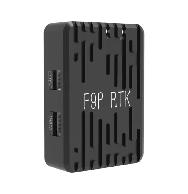
Autopilot
ZED-F9P RTK module usable as mobile station or base station, with dual-module heading
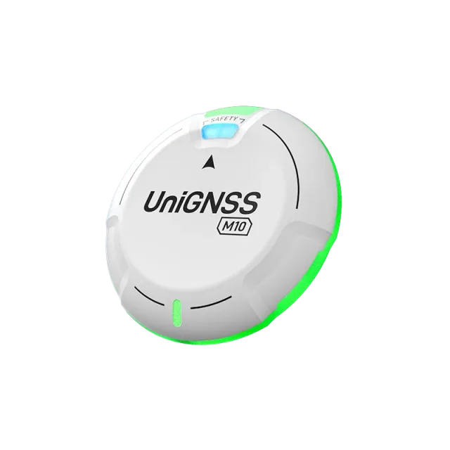
Autopilot
u-blox M10 GNSS module on DroneCAN with compass, status light, buzzer and safety switch
Autopilot
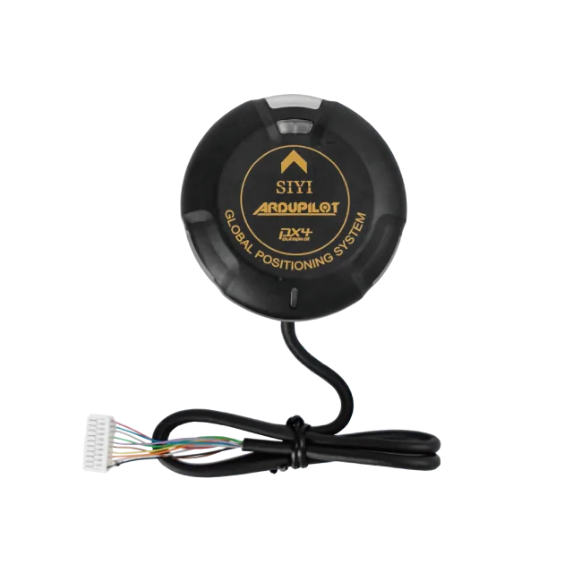
GNSS module with IST8310 magnetometer, RGB status indicator, buzzer and safety switch
Autopilot
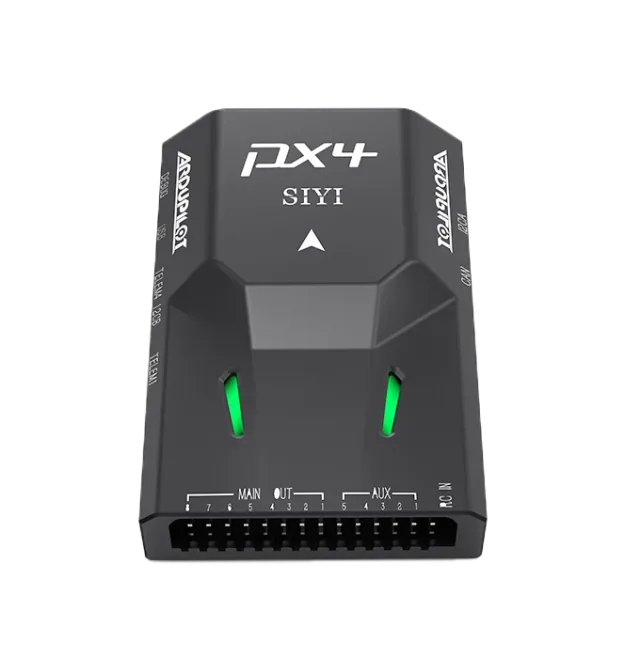
ArduPilot / PX4 autopilot with STM32H7, redundant dual IMUs and built-in shock absorption
Send us your requirements for more information, a quotation or advice on choosing a configuration.