Applications

Surveying & Mapping

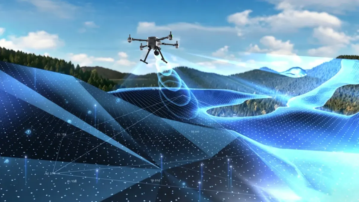
Surveying and mapping missions follow planned routes to collect consistent, georeferenced data over terrain, construction sites, farmland and waterways. Results depend on positioning accuracy, repeatable route planning and a link that covers the whole survey area.

What the system needs

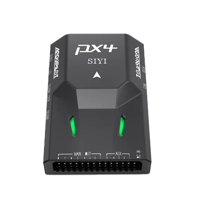
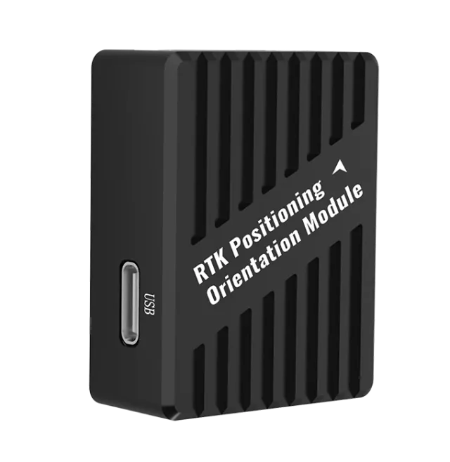
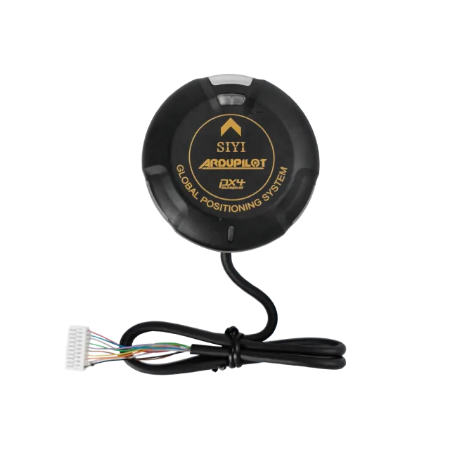
  • Autopilot

    RTK positioning and dual-antenna heading for accurate georeferencing

  • Software

    Survey route types and terrain following in UniGCS

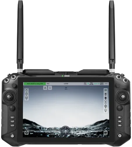
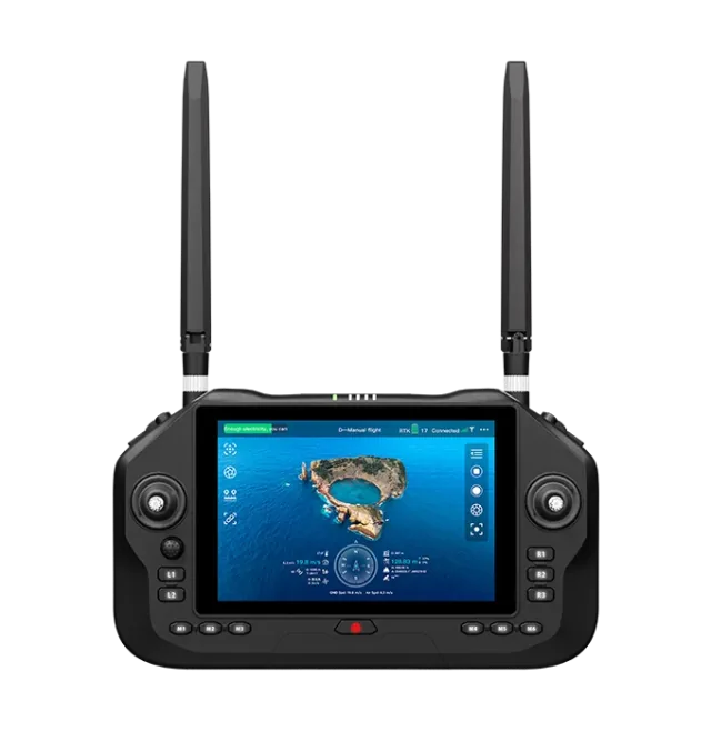
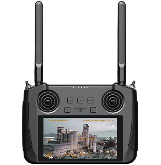
  • Link & Controller

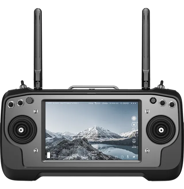
    A link with the range to cover the survey area

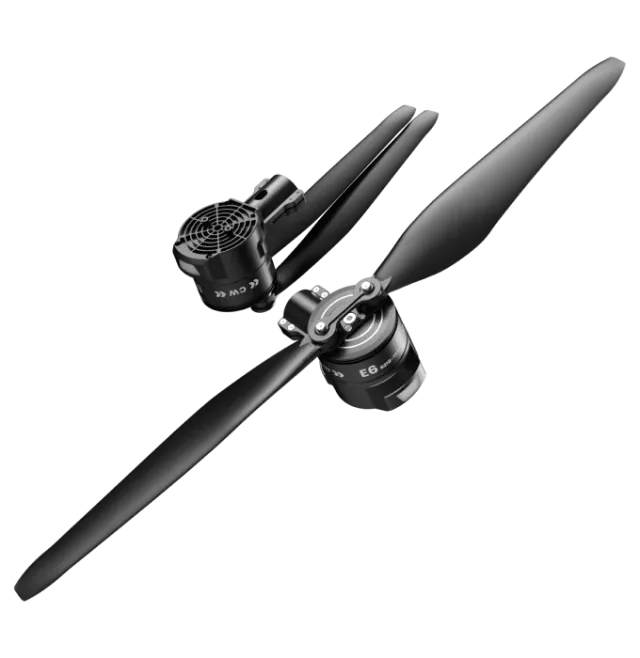
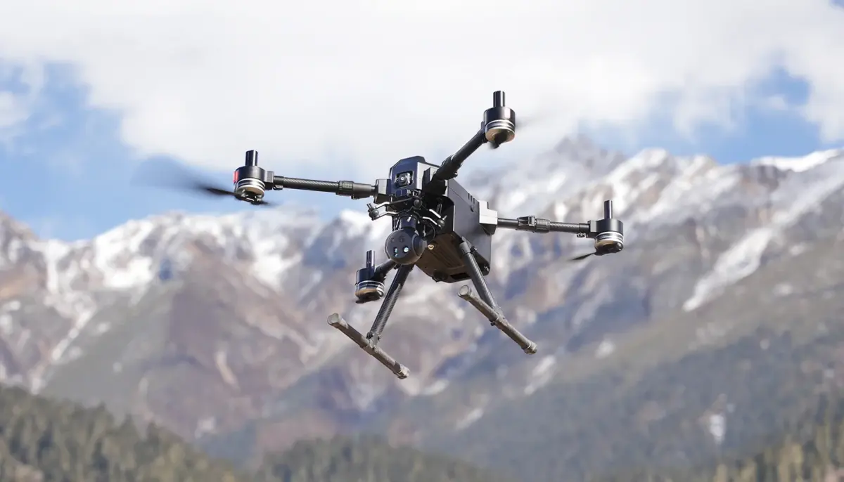
  • Propulsion System

    Propulsion matched to the airframe and take-off weight

Related solutions

Each configuration is published by SIYI in two tiers. Use the tabs to see the products in each.

UAV

Surveying & Mapping UAV

Typical scenarios

  • Basic terrain mapping
  • Land planning
  • Construction surveying

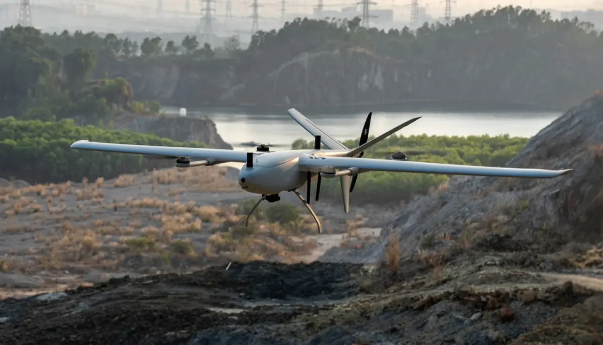
UAV

VTOL Surveying & Mapping

Typical scenarios

  • Topographic mapping
  • Water conservancy mapping
  • Farmland mapping

USV

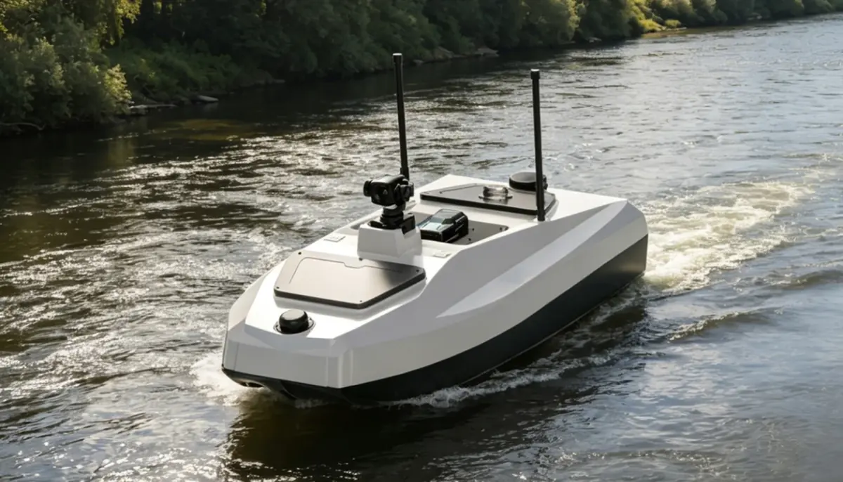
Hydrological Flow Measurement USV

Typical scenarios

  • Flood control
  • Routine river monitoring
  • Hydrographic surveying

Let's Build Your Intelligent Robotics Solution

Tell us about your platform and the job it has to do. We will help you choose a suitable configuration and answer technical questions.

Search the site

e.g. ZT30, thermal camera, inspection drone, RTK